GPLIGC and openGLIGCexplorer screenshots
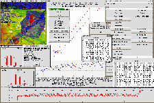
GPLIGC
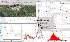
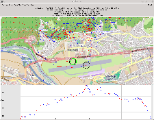
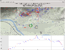
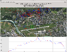
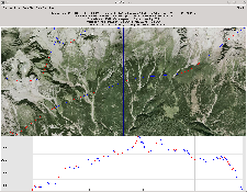
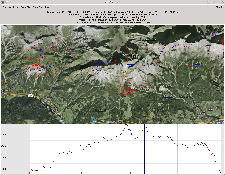
A GPLIGC working screen (1600x1200, 100kb)
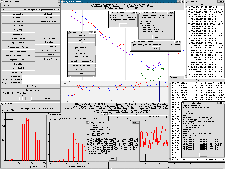
Another GPLIGC working screen (1454x973, 106kb)
openGLIGCexplorer
The "marker" is used to display data from single points
Digitized ICAO-map is used. (800x600, 76kb)
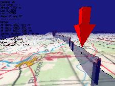
Digitized satellite-image-map is used as texture (600x800, 152kb)
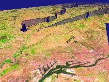
Flight of a 3m radiocontrolled (and GPS equipped) sailplane. 1arcsec SRTM DEM data and 2m aerial image used.
Thanks to Jan Kansky, Massachusetts, USA (1280x1024, 368kb)
A 600km flight in northern germany, 2D mode (800x600, 81kb)
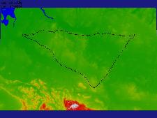
The same 600km flight. Agressive colormap is used to emphasize terrain elevation. (800x600, 54kb)
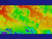
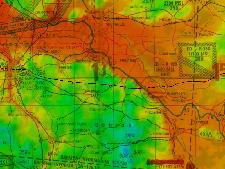
Surface elevation colors modulated with map colors (600x800, 87kb)
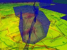
Airspace ED-R74, it wasn't active! (600x800, 81kb)
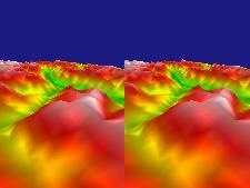
Double image stereoscopic mode, crossed-eyes (600x800, 51kb)
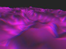
Red-Blue stereoscopic mode (600x800, 38kb)
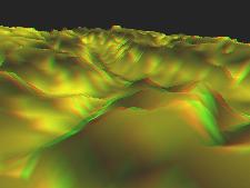
Red-Green stereoscopic mode (600x800, 49kb)
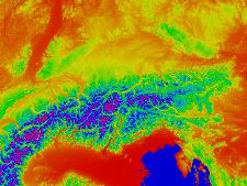
The Alps, 2D mode, agressive colormap (1600x1200, 178kb)
Take off at Innsbruck in Foehn conditions (1024x768, 112kb)
Satellite maps by David Starer
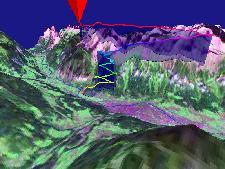
Passing Innsbruck in Foehn conditions (1024x768, 112kb)
Satellite maps by David Starer
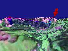
Take off at Innsbruck in Foehn conditions 2D orthographic Mode (1024x768, 236kb)
Satellite maps by David Starer
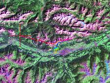
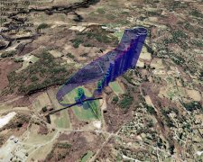
Flight in New Hampshire. GTOPO30 and Landsat images. Renderings by Vit Hradecky.
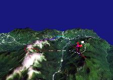
Flight in New Hampshire. GTOPO30 and Landsat images. Renderings by Vit Hradecky.
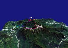
Flight in New Hampshire. GTOPO30 and Landsat images. Renderings by Vit Hradecky.
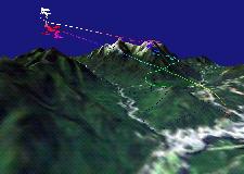
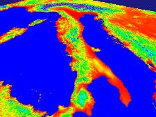
Italy, displayed at once using downscaling, agressive colormap (600x800, 75kb)
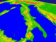
Italy, downscaled, default colormap (600x800, 64kb)
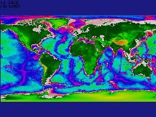
The World, downscaled (1593x642, 86kb)

etopo2 was merged with gtopo30 (600x800, 96kb)
